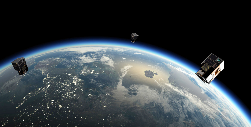
Satellogic has successfully launched 10 new satellites, all delivered to sun-synchronous LEO at 3:18:50 am UTC on November 6, 2020.
This launch positions Satellogic as a global leader in high-resolution data collection from orbit. Satellogic’s increased orbital capacity now enables access to as many as four daily revisits of any point of interest and the collection of more than 4 million sq. km per day in high-resolution imagery. Satellogic’s on-orbit fleet is now comprised of 21 satellites, 14 of which are used to deliver high-resolution data to customers.

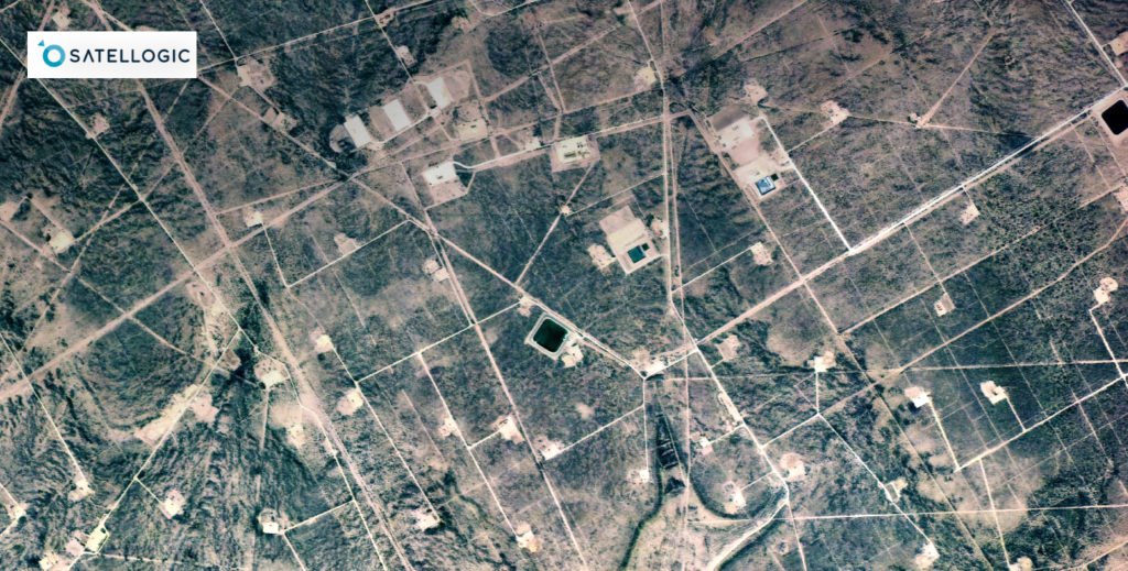
The company’s newest generation of satellites also operates at 0.7 meter resolution, enabling a more detailed view of the globe for more precise decision making. Through the ongoing refinement of sub-meter imagery, Satellogic plans to further drive down the cost of high-frequency geospatial analytics for existing and new Dedicated Satellite Constellation customers in 2021.
Over the course of 2020, Satellogic has made significant strides toward its goal of building a constellation capable of delivering frequent revisits of the entire planet at a price that will set a new standard for access and affordability in this market. Today’s dedicated launch follows successful launches in January and September and significantly expands the company’s in-orbit capacity.
The 10 new satellites launched today will further expand the company’s data-delivery capabilities, enabling Satellogic to meet the growing demand for their unique Satellite-as-a-Service model. By providing access to Dedicated Satellite Constellations (DSC), Satellogic enables governments to develop national geospatial imaging programs with no capital outlay and no technical risk.
Through the company’s DSC offering, state and local governments gain control of a fleet of satellites over their area of interest, including tasking, downloading, and processing capabilities. Geospatial analytics deliver insights that governments can use to improve or protect their environments, including border, resource, and infrastructure monitoring.
Executive Comments
“Timely access to geospatial analytics enables governments and key decision makers to build resilient processes and maintain their competitive edge, particularly in times of uncertainty or dramatic change,” said Satellogic Founder and CEO, Emiliano Kargieman. “We’re excited to put the power of our growing constellation directly in the hands of our customers and empower them to make better decisions, supported by up-to-date and high-resolution geospatial imagery.”
“At Satellogic we’ve continued to validate our vertically integrated approach. We’re not only manufacturing our spacecraft at scale but also continuing to develop new technologies that extend our competitive advantage,” said Satellogic Founder and CTO, Gerardo Richarte. “Leveraging our unique camera design, for instance, we can maximize the area we can image from a small aperture, giving us a 10X advantage in efficiency over any other small satellite platform in the market.”
