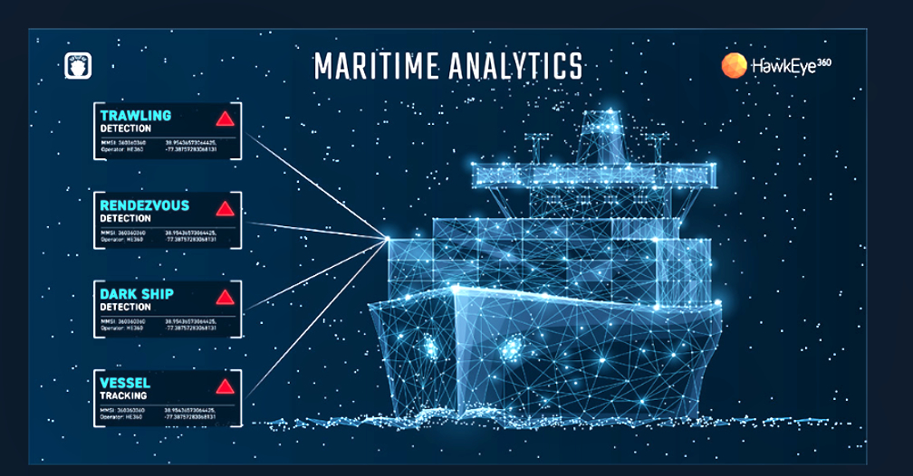
HawkEye 360 Inc. has incorporated a new trawling behavior detection capability to the company SEAker , the company’s maritime domain awareness product — this feature is a part of a series of new functionalities to be added within the year that will enable organizations to more comprehensively minimize maritime risk and protect national interests.
Leveraging open fishing data, location data, and other fused maritime data sets, the deep learning algorithm can identify the underlying behaviors associated with trawling activity. SEAker analytics can similarly identify ship-to-ship rendezvous and “dark ship” activity, or vessels that do not broadcast Automatic Identification System (AIS) transmissions for extended periods of time. When correlated with HawkEye 360’s RFGeo analytics and fused contextual information, these detection capabilities create invaluable insight into the opaque maritime domain.
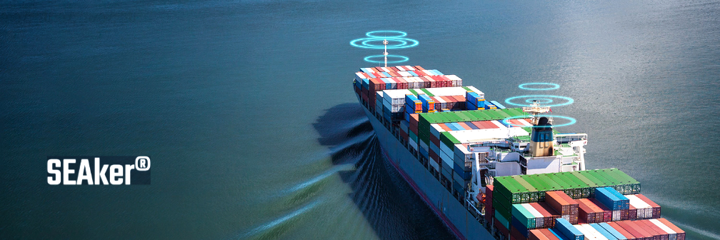
IUU fishing poses grave threats to global fish stocks and marine environments. The common practice of bottom trawling specifically can disrupt fragile ocean floor environments and capture significant amounts of by-catch, including sea turtles, dolphins, porpoises and more.
The economic consequences of IUU fishing are also significant. It is estimated to cost the seafood industry as much as $50 billion each year, cutting into the incomes of honest fishing businesses globally. IUU fishing operations are also frequently linked to forced labor and human rights abuses — confronting IUU fishing, therefore, could protect both the environment and vulnerable labor populations.
IUU fishing thrives on a complex, hard-to-regulate supply chain. With limited and varying regulations across the globe, legitimate maritime activity blends in with illegal activity. While AIS data could drastically improve visibility with strict enforcement, it does not account for vessels intentionally turning off the tracking devices so the depth of IUU fishing problems could be greater than public information suggests.
HawkEye 360’s growing constellation of satellites geolocate a diverse set of radio frequency signals emitted by ships, such as X-band and S-band marine navigation radars and VHF radios, offering a trusted way to independently validate vessel positions.
“In order to police the illegal activities of the vast ocean, the world needs — but does not yet have — timely, consistent, and actionable intelligence on illicit vessel behaviors across the globe,” said HawkEye 360 CEO John Serafini. “HawkEye 360 is proud to launch unparalleled commercial capabilities, made possible by our expanding constellation and analytics portfolio, that allow authorities worldwide to monitor and take action against bad actors involved in IUU fishing.”
“It’s a long, arduous task for analysts to manually and accurately identify fishing behavior. By automating pattern recognition, we’re saving analysts valuable time by providing those insights up front for them that may have otherwise been lost in the noise,” said Tim Pavlick, VP of Product, HawkEye 360. “Our maritime domain awareness solutions will now have an even more drastic impact in the fight against IUU fishing for our customers, helping them reliably identify illicit maritime activity and take appropriate action — including vessel interdictions and legal convictions.”