
The Hindustan Times is reporting that, after six-month delay, an Indian start-up firm has now targeted their satellite launch for October.
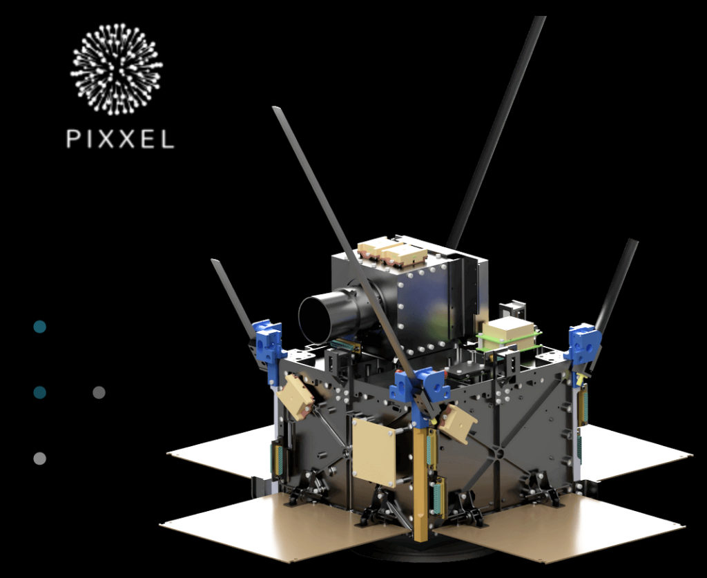
The EO satellite developed by the Indian start-up Pixxel will target an October launch with an Indian Space Research Organisation mission, a company official said. The satellite was to be launched aboard the PSLV-C51 mission in February of this year but the company had to back out due to a last minute glitch in the software. The company said they are designing the world’s highest resolution hyperspectral imaging satellites that can provide 10 to 50 times more detailed information than current systems.
“There was a problem with GPS acquisition and logging in the satellite which we were able to resolve in a couple of days. But we had missed the window to ship the satellite to ISRO launch site. The satellite is completely ready and we used the time to do another round of testing. We were waiting for the next opportunity that ISRO mission would go to the orbit we need. We will be launching the satellite in October,” said Awais Ahmed, founder and CEO of the company (incorporated as Sygyzy).
The work on the second satellite, in a planned constellation of 36, is also 60% complete and is likely to be launched in December. “We have been working on two more satellites in parallel; they are 30% complete and will be launched next year,” said Ahmed.
The company aims to complete their constellation of hyperspectral satellites by 2023.
This would be first satellite by an Indian start-up; barring the satellite of the non-profit SpaceKidz India that was launched as per a non-commercial agreement by ISRO on PSLV C51 mission in February. The PSLV C51 mission carried on board a three-satellite system developed by an industry consortium and SindhuNetra by DRDO for monitoring the Indian Ocean Region.
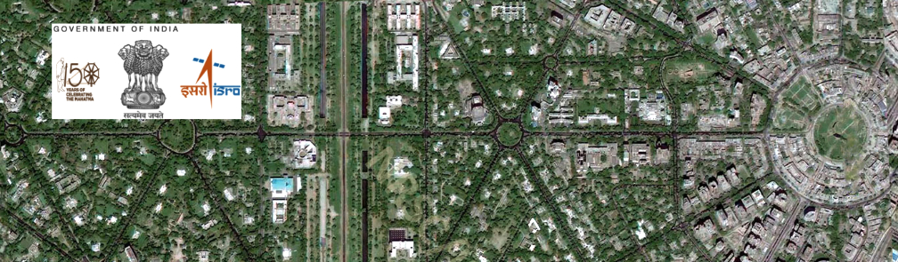
“A normal phone camera works in the visible RBG range, whereas something like a night goggle works in the infrared range. A hyperspectral image can capture data in both visible and infrared spectrum thereby providing great details,” said Ahmed. “If we take agriculture for example, our satellite will be able to provide granular data on not just the health of soil but the nutrients present in it. It will be able to identify the crop. It will be able to tell whether the crop has been under-irrigated or over-irrigated from soil moisture data.”
Article authored by Anonna Dutt, New Delhi