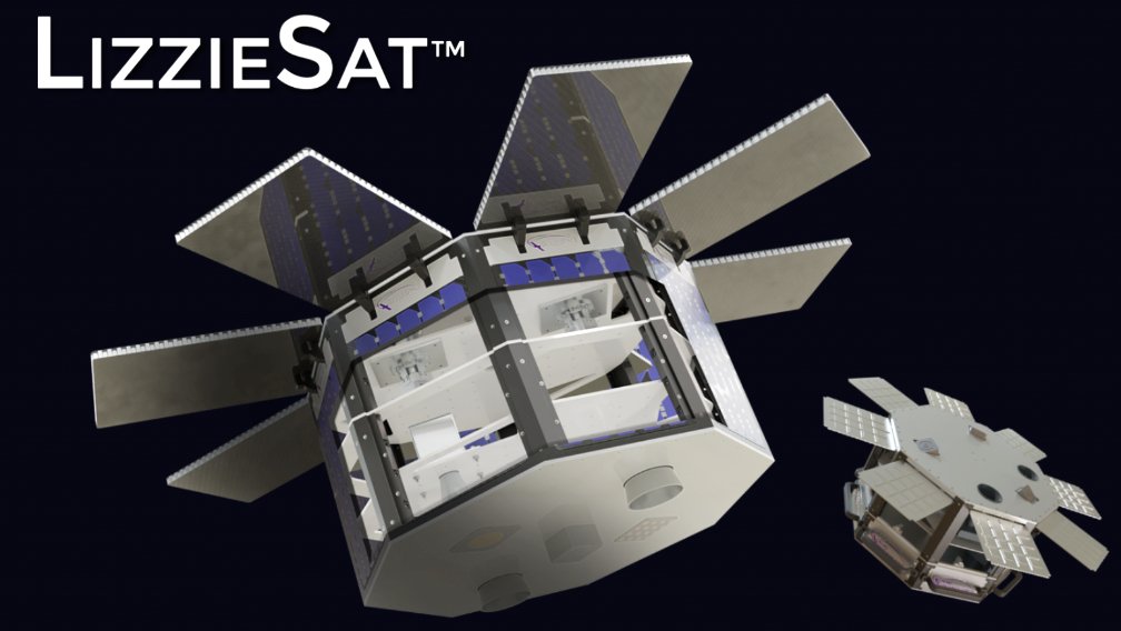
Sidus Space (NASDAQ: SIDU) has reported that the NOAA has granted the company a Tier 1 remote sensing license to include Panchromatic (PAN) and Shortwave Infrared (SWIR) imaging capabilities — this approval includes Sidus’ upcoming LizzieSat that is scheduled for launch in March of 2024 aboard the SpaceX Transporter-10 mission from Vandenberg SFB, as well as subsequent LizzieSat satellites.

Through this new license authority, Sidus LizzieSat satellites will collect and distribute images and data to government and commercial customers supporting a wide range of applications. The Sidus’ PAN and SWIR imagers will flow high-quality, diverse satellite data into the company’s FeatherBox Artificial Intelligence onboard processor which integrates the images with time synced Automated Information Systems (AIS) and GPS data to provide near real-time customer status regarding marine traffic trends, illegal fishing activities, methane emission locations and quantities, and vegetative stress implications on crop production around the globe.
“NOAA’s Tier 1 remote sensing license approval is a significant milestone for Sidus Space. With PAN and SWIR imaging capabilities, we’re focused on our commitment to practical innovation in space technology while addressing real-world challenges,” said Carol Craig, CEO and Founder of Sidus Space.
