
SI Imaging Services (SIIS) is preparing, in collaboration with its parent company, Satrec Initiative, for the launch of a 100% commercial optical satellite with ultra-high resolution.
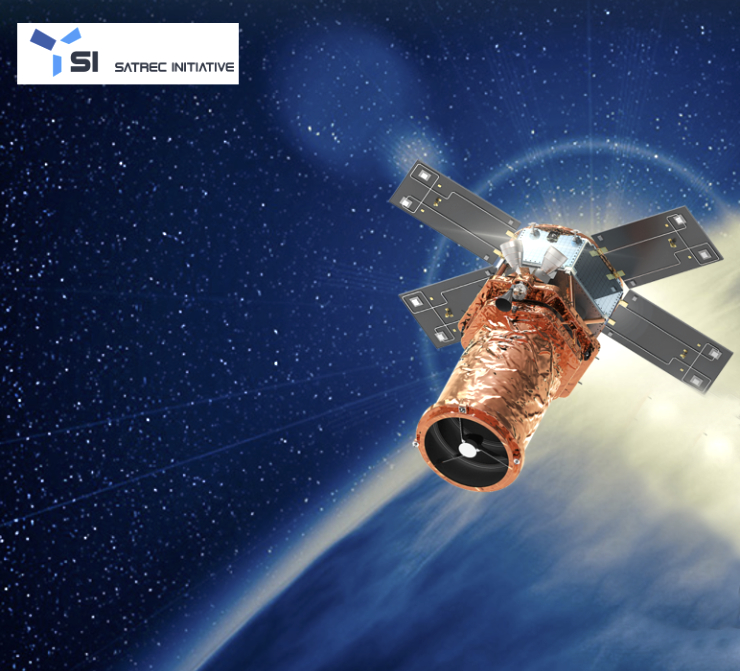
SIIS aims to innovate the domestic and international satellite data market by venturing into ultra-high-resolution (30 cm) SpaceEye-T imagery in 2025, in addition to providing KOMPSAT imagery. SpaceEye-T is entirely funded and manufactured by its mother company Satrec Initiative (SI) and will be operated by SIIS.
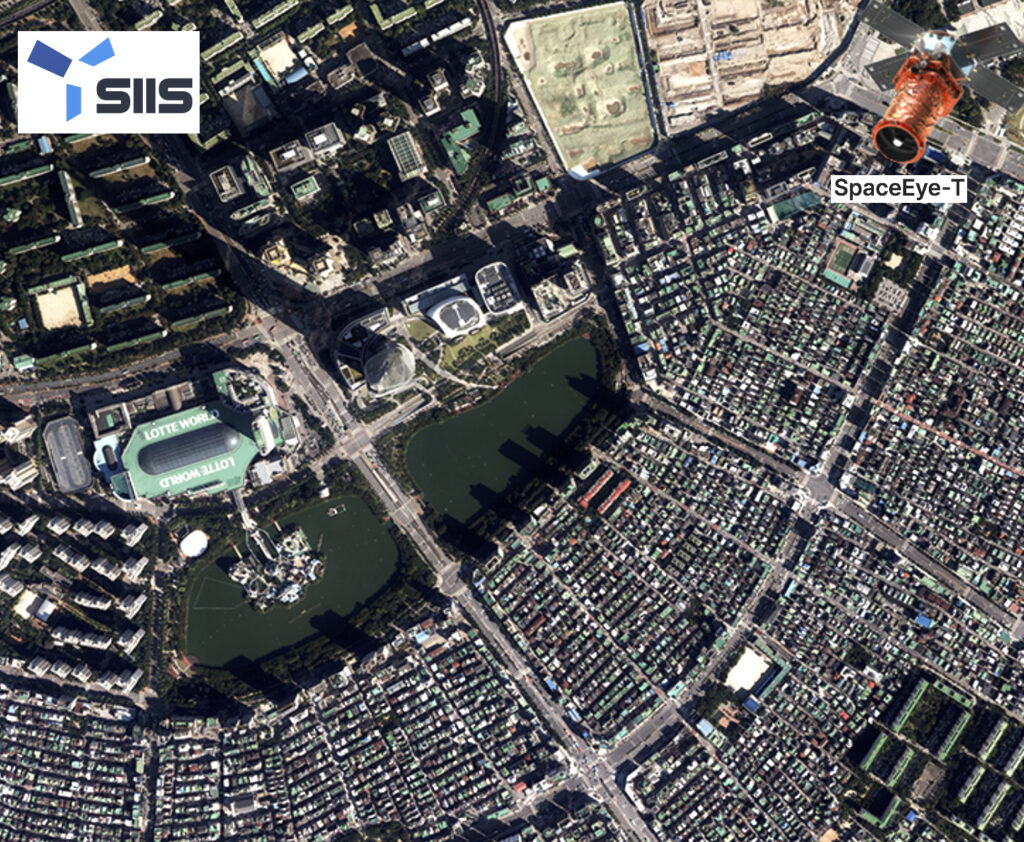
SpaceEye-T is capable of distinguishing objects as small as 30 cm on the Earth’s surface from about 600 km altitude. For example, in the world of construction monitoring or industrial inspections, 30 cm data means that users can gather the same quality of data that they used to rely on drones or airplanes for. Only a few countries, such as the United States, the European Union (EU), Israel, and China, possess commercial satellites with this level of resolution in the world. The manufacturing process is progressing smoothly according to the launch schedule, and it is scheduled to be launched into space by a SpaceX rocket next year.
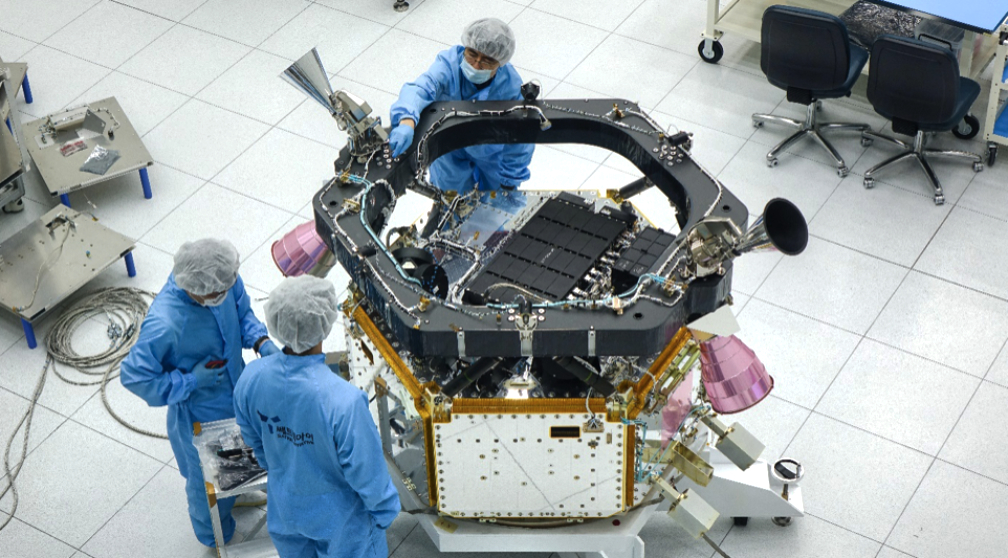
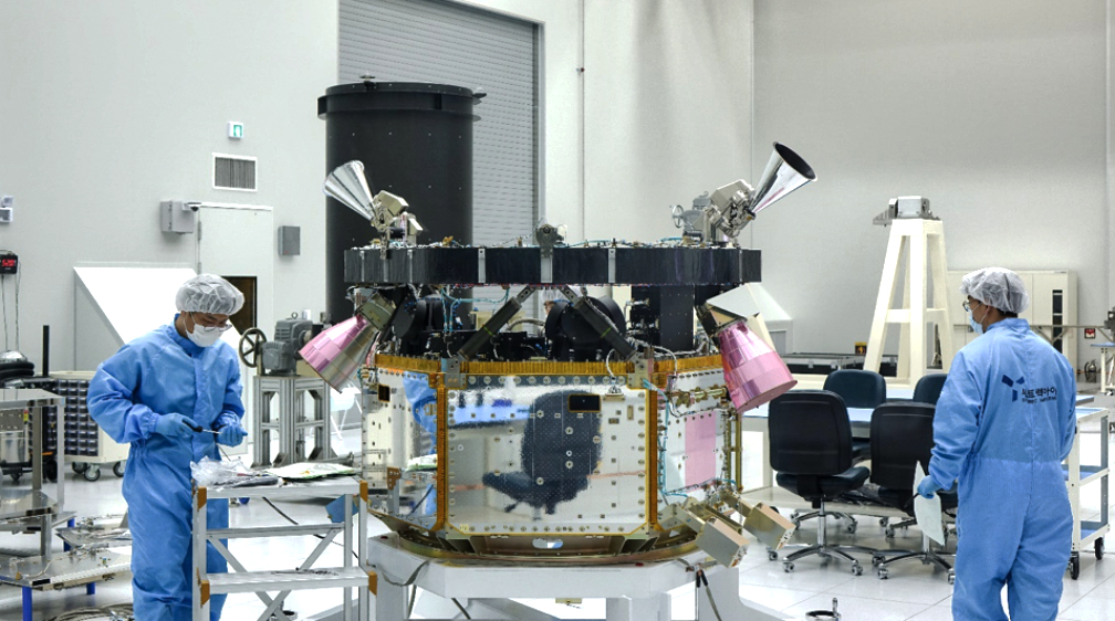
The front is the satellite body of the satellite, and the black pillar at the back is a large lens to be mounted to the satellite. Photo is courtesy of the company.
SpaceEye-T represents SIIS’s next-generation satellite. It has significantly improved in performance compared to previously produced satellites. With a resolution of 30 cm, SpaceEye-T can observe the Earth’s surface in great detail. This capability can be beneficial in various fields such as urban planning, natural resource management, disaster management, and military applications. The deployment of such ultra-high-resolution satellites is expected to offer innovative applications across various sectors due to these advantages. SIIS plans to launch three additional SpaceEye-T smallsats by 2027.
“Our growing constellation provides a reliable intelligence source, enabling a faster, more accurate response to changes occurring anywhere on the planet. Our vision takes the Earth-Observation industry one step further, helping commercial sector customers easily access the clearer and faster satellite data that can taking their decision-making during critical situations in various industries,” said Moongyu Kim, CEO of SIIS.
SI Imaging Services provides satellite imagery of Korean Multi-Purpose Satellite (KOMPSAT) 3, 3A, and 5. SIIS contributes to the remote sensing and earth observation industries with very-high-resolution optical and SAR images together with over 160 partners worldwide. Satellite imagery is used in remote sensing fields such as mapping, agriculture, and disaster observation.
SIIS’s next venture, the launch of the ultra-high resolution (30 cm) SpaceEye-T in 2025, aims to revolutionize the satellite market. Satrec Initiative is a world-leading Earth Observation solutions provider. SI was founded in 1999 by the engineers who developed the first Korean satellite and a series of advanced smallsats The company has been focusing on developing high-performance small/medium satellite systems for Earth observation missions. The company has contributed to the success of more than 28 international and domestic space programs over the past 30 years.