

December 25, 2025, Operational signals from the SpaceRISE consortium—comprising SES, Eutelsat, and Hispasat—indicated the multi-orbit IRIS² (Infrastructure for Resilience, Interconnectivity and Security by Satellite) program has transitioned into the active procurement phase.
The consortium has begun the preparation of Request for Proposal (RFP) documentation for both satellite hardware and launch services, marking the first significant movement toward physical acquisition since the signing of the concession agreement.
The shift into procurement was confirmed by recent talent acquisition requirements at Eutelsat, where newly appointed procurement and system engineering roles are tasked with the immediate “preparation of the satellite and launch services RFP.” This phase follows the signing of a 12-year concession contract between the European Commission (EC) and SpaceRISE on December 16, 2024, which allocated approximately €10.6 billion for the development and operation of the sovereign European constellation.
Strategic Transition to Hardware Acquisition
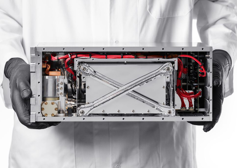
The initiation of the RFP process suggests that the “competitive dialogue” stage—previously focused on narrowing the field of prime contractors for the Low Earth Orbit (LEO) segment—is reaching a conclusion. As of late 2025, the competition for the LEO segment was centered on two primary bidders: Airbus Defence and Space of France and Aerospacelab of Belgium. The current procurement push indicates the consortium is moving beyond design reviews to finalize contractual awards for the manufacturing of the 272-satellite LEO fleet.
The IRIS² program serves as the European Union’s flagship initiative to establish a secure, multi-layered communications backbone. By integrating the existing LEO expertise of Eutelsat (via its OneWeb assets) and the Medium Earth Orbit (MEO) capabilities of SES, the architecture aims to provide resilient governmental communications and bridge the digital divide for EU member states.
Technical Architecture and Mission Parameters
The planned constellation will utilize a multi-orbit architecture to ensure continuous coverage and high-performance throughput:
- LEO Segment: 272 satellites at an altitude of 1,200 km, designed for low-latency broadband and 5G-equivalent connectivity.
- MEO Segment: 18 satellites at an altitude of 8,000 km, leveraging SES’s established orbital infrastructure to provide high-capacity throughput.
- Inter-Satellite Links: The fleet will employ optical laser technology to maintain mesh network connectivity, reducing reliance on terrestrial ground stations outside of European borders.
- Sustainability: Consortium members have committed to non-emissive satellite designs to minimize interference with astronomical observations and strict debris mitigation protocols.
“IRIS² is integral to Europe’s space strategy and is already fostering enhanced collaboration and innovation between the industry and public sectors,” said Adel Al-Saleh, chief executive officer of SES, during the program’s initial contract signing.
Timeline to 2030 Operational Status
The next milestone for the SpaceRISE consortium involves the evaluation of the upcoming satellite and launch RFPs. While the European Commission targets initial governmental services by 2030, the 2026–2027 period is expected to focus on the Critical Design Review (CDR) and the first batch of satellite manufacturing.
The launch services RFP will likely prioritize European launch vehicles, specifically the Ariane 6, to maintain the program’s mandate for strategic autonomy. Full operational readiness of the constellation remains slated for 2031, following a phased deployment beginning in late 2029.