

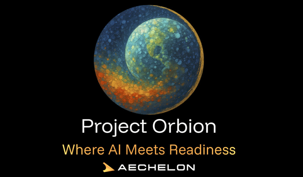
Aechelon Technology has announced ‘Project Orbion,’ together with its partners — a groundbreaking, new initiative that will integrate best-of-class technology solutions to create a live Digital Twin of the Earth.
All of this is complete with accurate physics, real-time weather and more in full Synthetic Reality (SR). Aechelon’s Project Orbion is a living synthesis of real-time satellite imagery, radar intelligence, video photogrammetry and AI all combined with the most accurate rendition of the Earth, reconstructing and distributing our world in dynamic 3D. From monitoring wildfires to floods, from wartime troop movements to shipping routes in peacetime, from urban rescues to remote disasters—Project Orbion helps situational awareness, understanding and safe human decision making.
Synthetic Reality data supplied from Project Orbion is designed to train leading-edge defense and corporate AI models with real-world data -not just human-generated data, but actual ground truth conditions data. It’s where cutting-edge AI is fused into a digital twin of the planet. Project Orbion is capable of penetrating darkness, clouds and smoke to enable users to react to natural disasters and defense-oriented use cases—all with the most up-to-date 3D representation of the world.
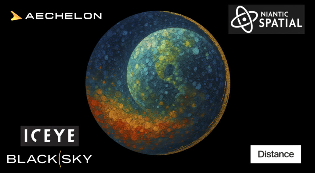
Project Orbion partners include..
Niantic Spatial® (San Francisco) for its Large Geospatial Model reconstruction and visualization service
ICEYE® (Helsinki) for space-based imaging radar
BlackSky (Herndon, Virginia) for very high resolution, high-cadence Earth Observation (EO) imagery
Distance Technologies (Helsinki) for their Light Field 3D Displays.
A goal of the collaboration is to explore integrating forthcoming versions of Niantic Spatial’s Visual Positioning System (VPS) with Aechelon’s simulation systems. In GPS-denied environments where satellite signals are unavailable or compromised, VPS will allow ground teams to achieve centimeter-level localization and navigation. This capability is critical for complex and time-sensitive search-and-rescue operations.
All of these cutting-edge technologies are being integrated to use Aechelon’s military-grade, Synthetic Reality visualization, AI training and simulation systems.
Aechelon has spent decades creating the most realistic synthetic environments for mission-critical defense training,” said Nacho Sanz-Pastor, Co-Founder and Chief Technology Officer (CEO), Aechelon Technology. “The challenge has always been keeping pace with changes in the physical world and training humans and autonomous systems with realistic worldwide information. Our Skybeam
By combining our platform to scan, visualize and understand the world with Aechelon’s simulation technology, we can provide emergency and first responders the most accurate understanding of the environments in which they operate,” said Brian McClendon, Niantic Spatial’s Chief Technology Officer (CTO). “Geospatial understanding unlocks a new level of situational awareness that allows teams to plan and execute missions with greater confidence and safety.”
At ICEYE, we design, build and operate the world’s largest group of imaging radar satellites -that allows us to react to anything that happens on the ground, regardless of the conditions and very quickly,” said Pekka Laurila, ICEYE Co-Founder and Chief Strategy Officer (CSO).