OroraTech has opened their U.S. headquarters in Denver, Colorado—based in Munich, Germany, the company’s expansion to the United States marks an important milestone in its mission to support wildfire resilience in America.
The Denver office will serve as a central hub connecting U.S. wildfire emergency services, utility providers and government agencies with OroraTech’s state-of-the-art space technology.
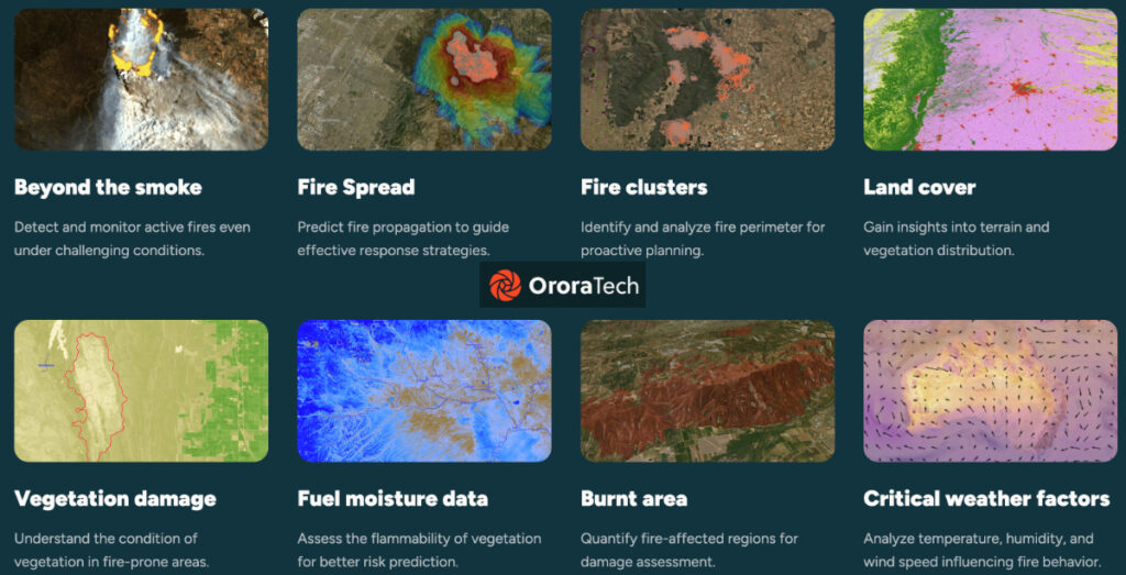
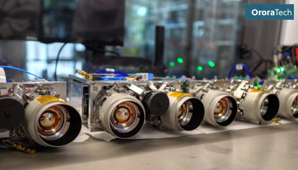
OroraTech’s Wildfire Solution platform combines the world’s largest constellation of dedicated wildfire satellites with predictive modeling, advanced thermal imaging and real-time data analytics. The system comprises 10 proprietary satellites and data from numerous additional public satellites, forming a network of 40+ that operate in LEO and GEO orbit. The constellation can detect heat anomalies and emerging fires as they erupt, mapping their location, severity and speed of spread. This creates unmatched situational awareness for fire management, faster response capabilities and year-round readiness.
The expansion to the United States, and specifically to Denver, is already generating positive momentum. Larimer County, Colorado—a region highly vulnerable to wildfire risk—recently signed as one of OroraTech USA’s first customers in its Wildfire Solution Coop program.
OroraTech began establishing its comprehensive global satellite network in 2022. In addition to the U.S. expansion, the company recently entered a contract with the Greek government to develop a €20 million ($22.7 million) national satellite-based wildfire early warning system, making Greece the first country to implement such a system.
Wildfires are one of the most devastating natural disasters facing the United States today, with the 2025 LA fires costing about $135 billion in damages alone,” said Thomas Gruebler, president and CEO of OroraTech USA and co-founder of OroraTech. “We are deeply committed to introducing American firefighters and emergency responders to our satellite technology that will give them a new layer of situational awareness to make faster, smarter decisions when every minute counts.”
Proactive preparation is the key to reducing wildfire risk and protecting our communities,” said Justin Whitesell, emergency services director for the Larimer County Sheriff’s Office.“However, tools for wildfire intelligence and situational awareness are still critical. The synergy between OroraTech’s cutting-edge technology and the Larimer County Sheriff’s Office of Emergency Services’ local initiatives exemplifies a comprehensive approach to wildfire resilience, setting a precedent for other regions facing similar challenges.”


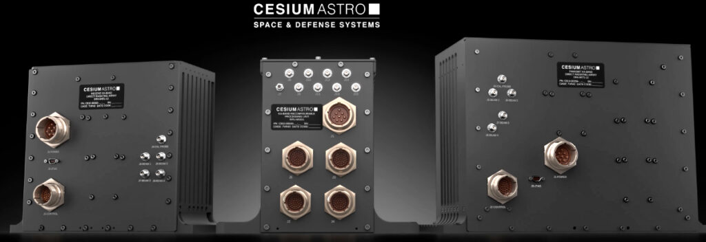
 . The IQSat is AI-enabled and includes Artificial Intelligence and Machine Learning (AI) ML) from Intuidex, Inc. incorporated in Intuidex’s Watchman for Space
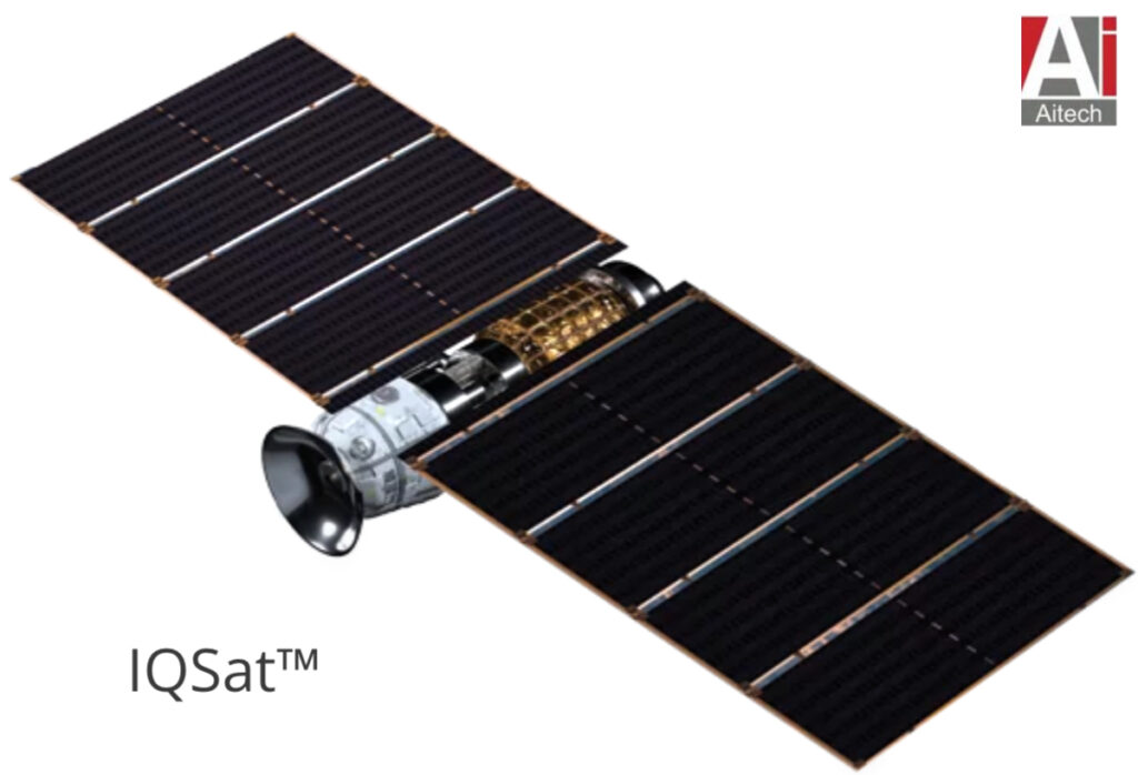


 ) with SatixFy’s space grade chips and communications systems