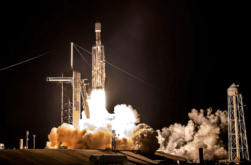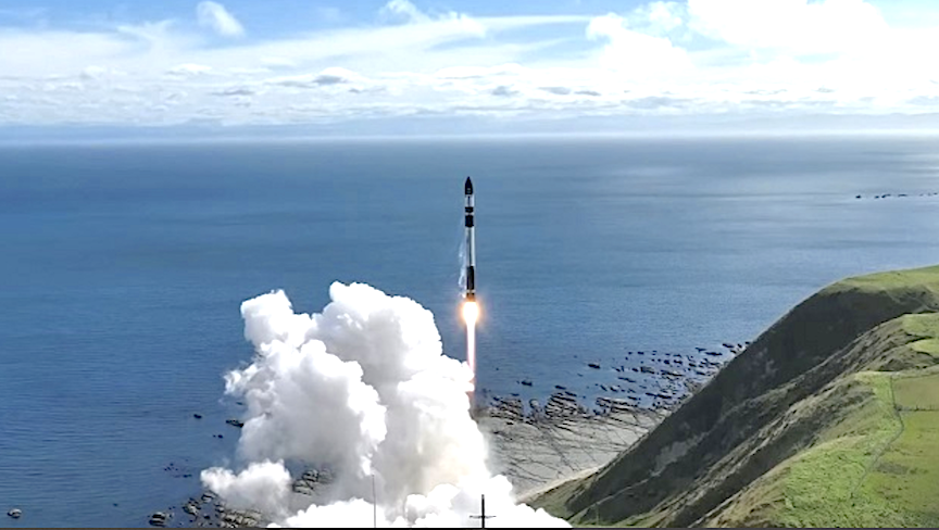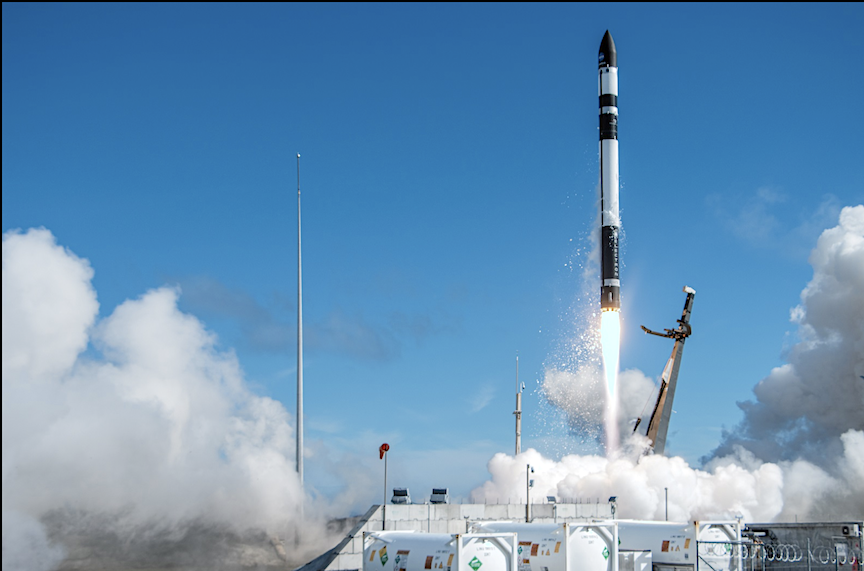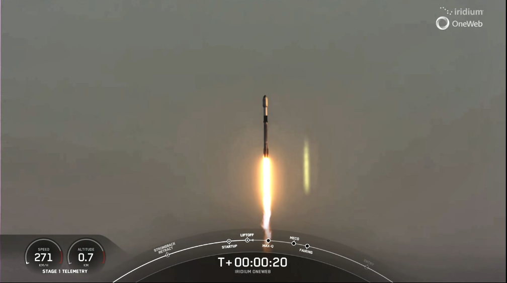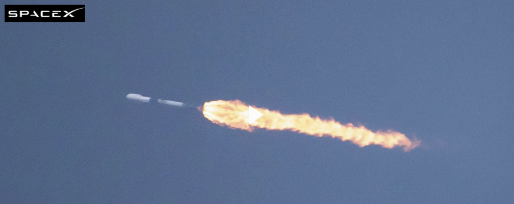

UPDATE: Rocket Lab USA, Inc. (Nasdaq: RKLB), a launch and space systems company, is preparing for the second of two dedicated Electron launches to deploy a constellation of storm monitoring satellites for NASA. This mission, named Coming To A Storm Near You, is now rescheduled for lift-off no earlier than Thursday, 8:10 PST on May 25, and Friday, May 26, 2023 NZST from Launch Complex 1 on New Zealand’s Mahia Peninsula.

Launch Window Opens:
NZST | 16:00, May 25
UTC | 04:00, May 25
EDT | 00:00, May 25
PDT| 21:00, May 24
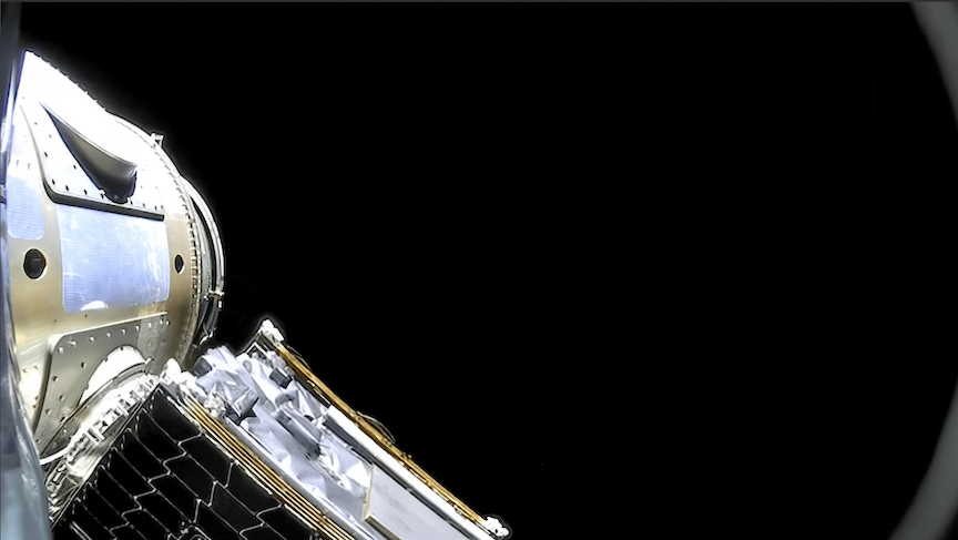
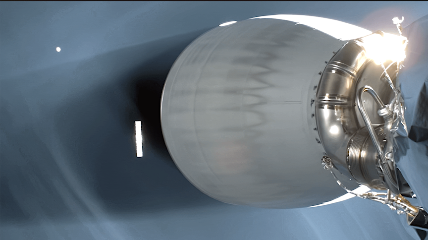
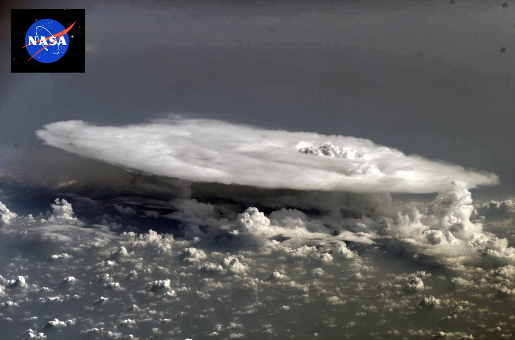
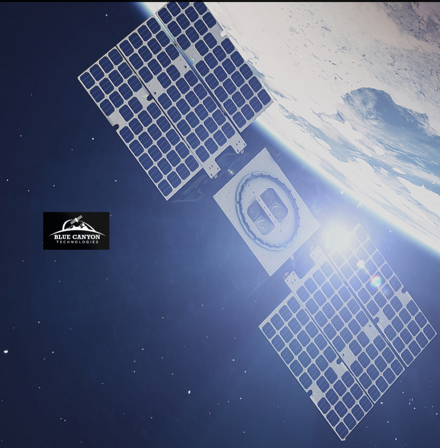
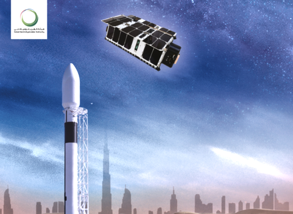
Coming To A Storm Near You marks Rocket Lab’s second of two TROPICS launches for NASA, following the first launch on May 8th NZST. Like the previous launch, Coming To A Storm Near You will send a pair of shoebox-sized satellites to low Earth orbit to collect tropical storm data more frequently than other weather satellites. The TROPICS constellation (Time-Resolved Observations of Precipitation structure and storm Intensity with a Constellation of Smallsats) will help increase understanding of deadly storms and improve tropical cyclone forecasts, complementing other NASA and partner satellites. The TROPICS CubeSats require launch to a specific orbit at an altitude of 550 kilometers and inclination of about 30 degrees and all four satellites need to be deployed into their operational orbit within a 60-day period ahead of the 2023 North American storm season which begins in June.
“The TROPICS constellation has the potential to save lives and improve our knowledge of deadly storms, so we’re immensely proud to be part of making it possible,” said Rocket Lab founder and CEO, Peter Beck. “With one pair of TROPICS satellites now safely in orbit, we’re pleased to be back on the pad just two weeks later ready for the next launch. Regular and reliable dedicated small sat launch is what we developed Electron and our launch sites for, so it’s a great feeling to be delivering on that for NASA.”
Coming To A Storm Near You will be Rocket Lab’s fifth Electron mission for 2023 and the Company’s 37th launch overall since Rocket Lab’s first Electron launch in 2017. The TROPICS launches follow on from previous successful Electron missions for NASA, including the ELaNa-19 mission and CAPSTONE mission to the Moon.
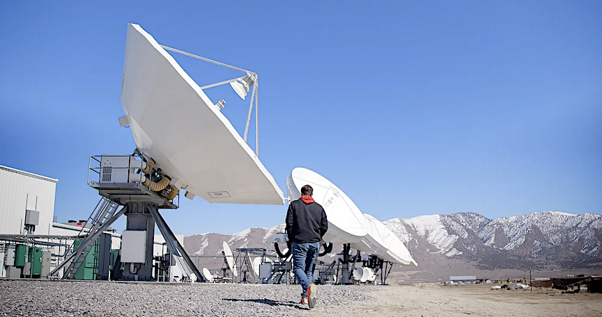
The live launch webcast will be available at www.rocketlabusa.com/live-stream from around T-20 minutes on launch day.

 and Emmy