
DUBAI and KYIV — On Thursday, January 15, 2026, VEON Ltd. (Nasdaq: VEON) announced that its Ukrainian subsidiary, Kyivstar, has reached 3.0 million registered users for its Starlink Direct to Cell satellite connectivity service. This milestone represents more than 10% of Kyivstar’s total mobile subscriber base and highlights the rapid adoption of non-terrestrial network (NTN) solutions in contested environments.
Rapid Adoption and Regional Resilience
Since the service was launched on November 24, 2025, subscribers have exchanged more than 1.2 million SMS messages via satellite. The technology has proven most critical in Ukraine’s southern and eastern regions, where terrestrial infrastructure is frequently compromised. Usage is currently concentrated in five major urban hubs: Kyiv, Lviv, Vinnytsia, Khmelnytskyi, and Dnipro.
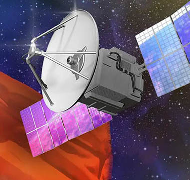
The service is currently accessible at no additional cost to all 15.5 million Kyivstar 4G smartphone users through their existing tariff plans. The technology utilizes Starlink’s “cell tower in space” architecture, which employs advanced phased array antennas to connect directly to standard LTE handsets without hardware modifications.
Leadership on Strategic Connectivity
“The rapid adoption of Starlink Direct to Cell services by Kyivstar subscribers demonstrates the critical importance of enhancing Ukraine’s resilience and our customers’ appreciation for the availability of satellite-based connectivity,” said Kaan Terzioğlu, VEON Group CEO and Executive Chairman of Kyivstar. “We will continue to lead the way in providing innovative services that Ukraine needs to build its digital future.”
Central Asian Expansion and Future Outlook
The success in Ukraine is serving as a blueprint for VEON’s broader regional strategy. In November 2025, VEON’s Beeline Kazakhstan successfully completed the first Direct to Cell WhatsApp call in Central Asia. Following this pilot, Beeline Kazakhstan expects to introduce commercial SMS services via satellite in 2026, pending regulatory approvals.
Currently, SpaceX operates a constellation of approximately 650 Direct to Cell satellites in Low Earth Orbit (LEO). To support increasing demand and reduce latency, SpaceX has filed with the FCC to orbit future cellular satellites at altitudes as low as 326 km. For Kyivstar, this partnership is a key component of VEON’s broader pledge to invest $1 billion in Ukraine’s digital infrastructure between 2023 and 2027.