• Skip to main content
  • Skip to primary sidebar
  • Home
  • News
  • Featured
  • More News ⌄
    • SatNews
    • SatMagazine
    • MilSatMagazine
  • Events ⌄
    • MilSat Symposium
    • SmallSat Symposium
    • Satellite Innovation
  • Contacts
  • SUBSCRIPTION

SmallSat News

You are here: Home / Archives for 2020

Archives for 2020

The First Ethereum Network-Blockchain Satellite From Villanova University Set For Orbit

October 28, 2020 by editorial

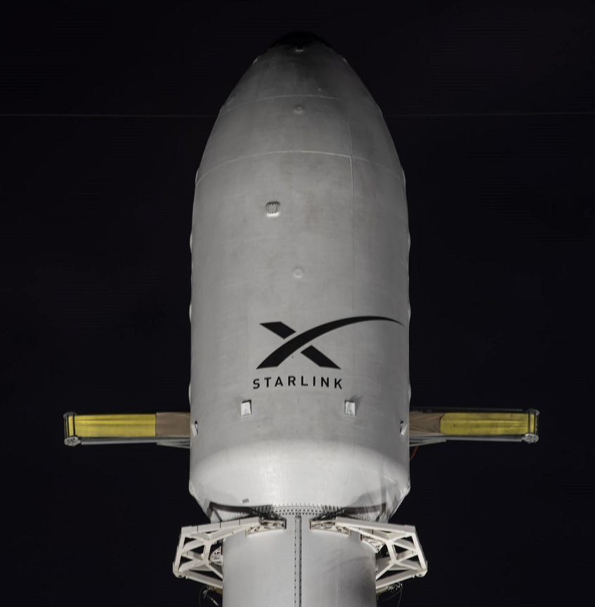
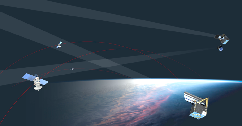
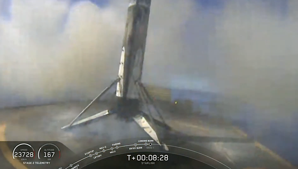
Villanova University College of Engineering is collaborating with Teachers in Space, Inc., a non-profit organization that developed the “Serenity” educational cubesat satellite, to launch the first, private, blockchain satellite to validate the technology for inter-satellite transactions. A flight has also been secured on Firefly Aerospace’s Alpha launch vehicle, which will lift off from the Vandenberg Air Force Base in California.

This project is led by Hasshi Sudler, an adjunct professor Villanova’s College of Engineering and CEO of the Internet Think Tank, and he also ran the school’s hackathon to address poverty through blockchain technology last year. 

This experiment will prove that blockchain can allow two satellites to reliably complete data transactions without communicating with a ground station to supervise these inter-satellite exchanges. The satellite will remain in LEO for approximately 30 days and controlled blockchain experiments will take place during the first 15 days the satellite is on-orbit.

Professor Sudler noted that the blockchain provides a trusted and immutable means of tracking these exchanges between satellites that may belong to different companies or even different countries.

Villanova researchers will grant 10 non-researchers with experience using  blockchains with access to the onboard blockchain for the remainder of the flight for measuring transaction performance under heavier traffic loads.  While the satellite is on-orbit, the latter half of the test period will be dedicated to open access from Villanova to perform test transactions between the ground station and the satellite.

The transaction data will be test files (text and images of various file sizes) that will create various loads on the blockchain. These transactions will also be allowed to interact with Ethereum smart contracts (programs that can automatically trigger a new transaction when a specific condition is met).  All transactions are permanently recorded on the blockchain ledger.

The satellite will remain in low Earth orbit for approximately 30 days, and controlled blockchain experiments will take place for the first 15 days.

Villanova researchers will grant select non-researchers access to the onboard blockchain for the remainder of the flight for measuring transaction performance under heavier traffic loads. These individuals will be limiting a group of up to 10 individuals who have experience using blockchains.

While the satellite is in orbit, the latter half of the test period will be dedicated to open access from Villanova to perform test transactions between the ground station and the satellite. The transaction data will be test files (text and images of various file sizes) that will create various loads on the blockchain. These transactions will also be allowed to interact with Ethereum smart contracts (programs that can automatically trigger a new transaction when a specific condition is met). All transactions are permanently recorded on the blockchain ledger.

Sudler and Gomez will measure the impact of high traffic on the blockchain network as well as any impacts on the transactions themselves as the satellite enters and leaves the Earth’s horizon to the ground station. “When we consider a full constellation of blockchain satellites transacting with one another and with a ground station, we need to monitor any performance impact on the blockchain as the satellites are traveling rapidly in different orbits. The momentary visibility between satellites as well as with a ground station may introduce challenges to fully synchronize and secure new transactions on the blockchain in a timely manner.”

Sudler notes that the blockchain provides a trusted and immutable means of tracking these exchanges between satellites that may belong to different companies or even different countries. “Benefits of inter-satellite transactions include lowering the need for numerous ground stations to maintain constant communication with orbiting satellites. It also allows one satellite to leverage unique data held by other satellites to complete its mission. And by leveraging data from satellites already in orbit, society can minimize excessive satellite deployments and reduce space debris, one of the highest risks to existing satellites,” says Sudler.

The experiment leverages an Ethereum Private Network using Proof of Authority as its consensus protocol. Proof of Authority is considered more robust than other consensus protocols because it uses a validator’s identity rather than assets held to ensure validators are working in the best interest of securing the blockchain. It also avoids using large amounts of energy associated with traditional blockchains.

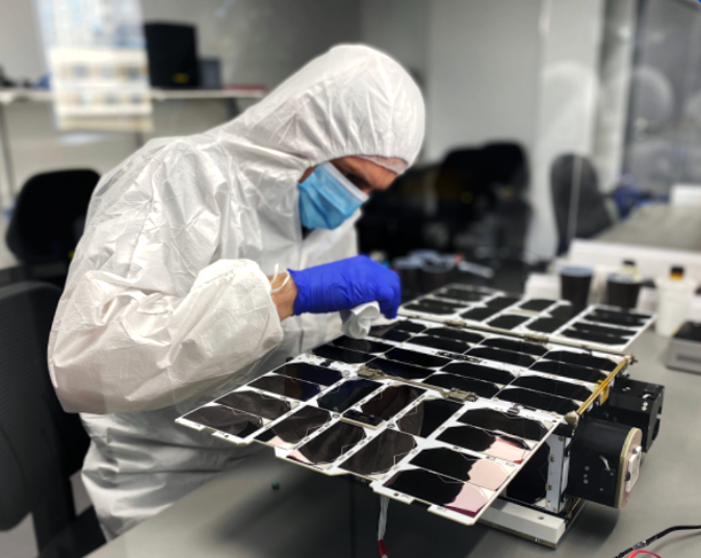
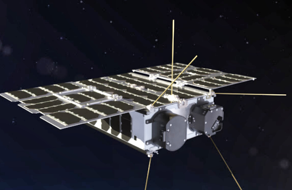
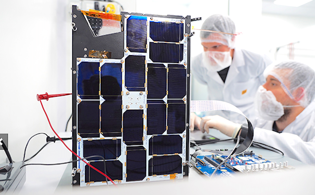
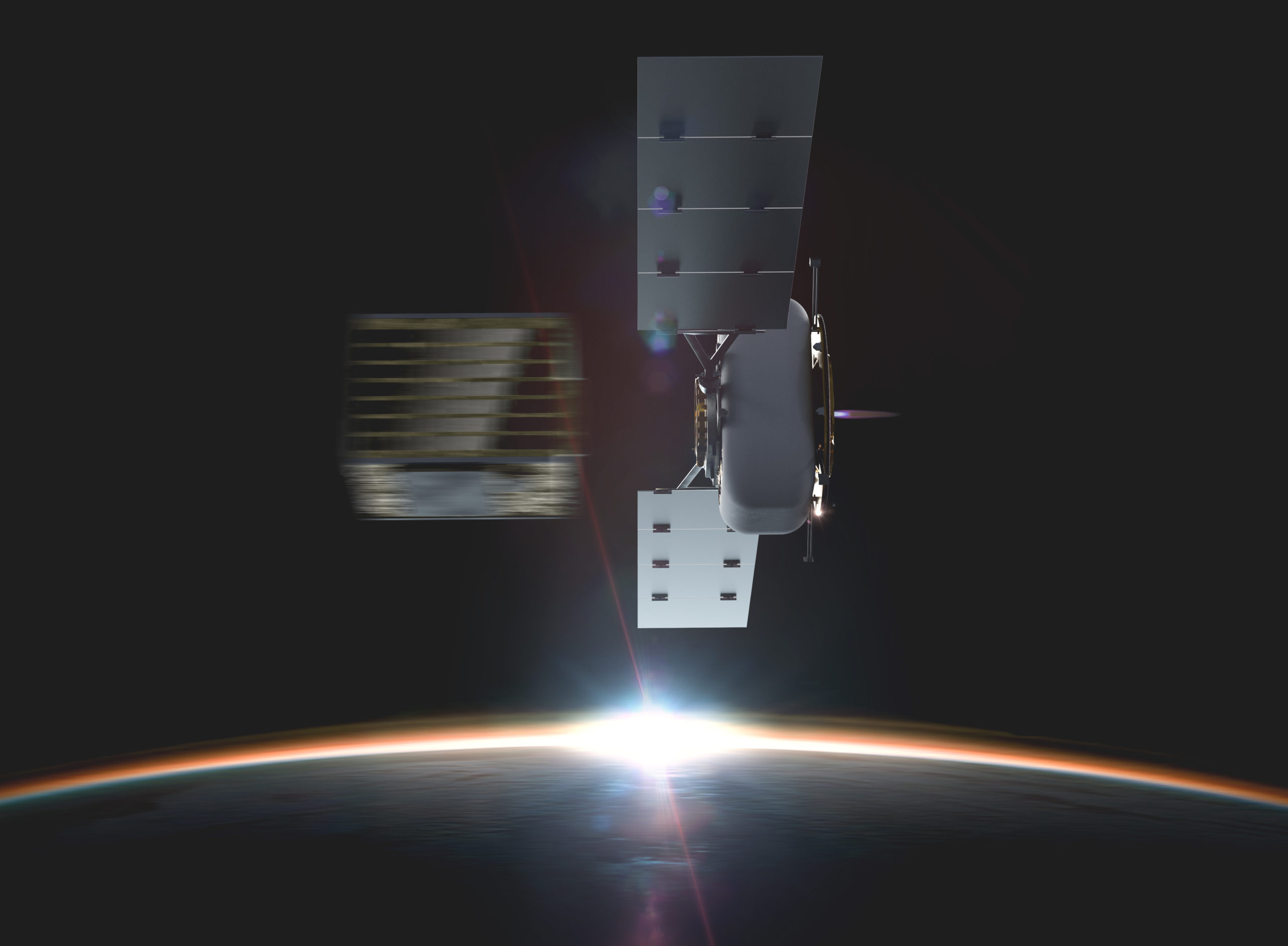
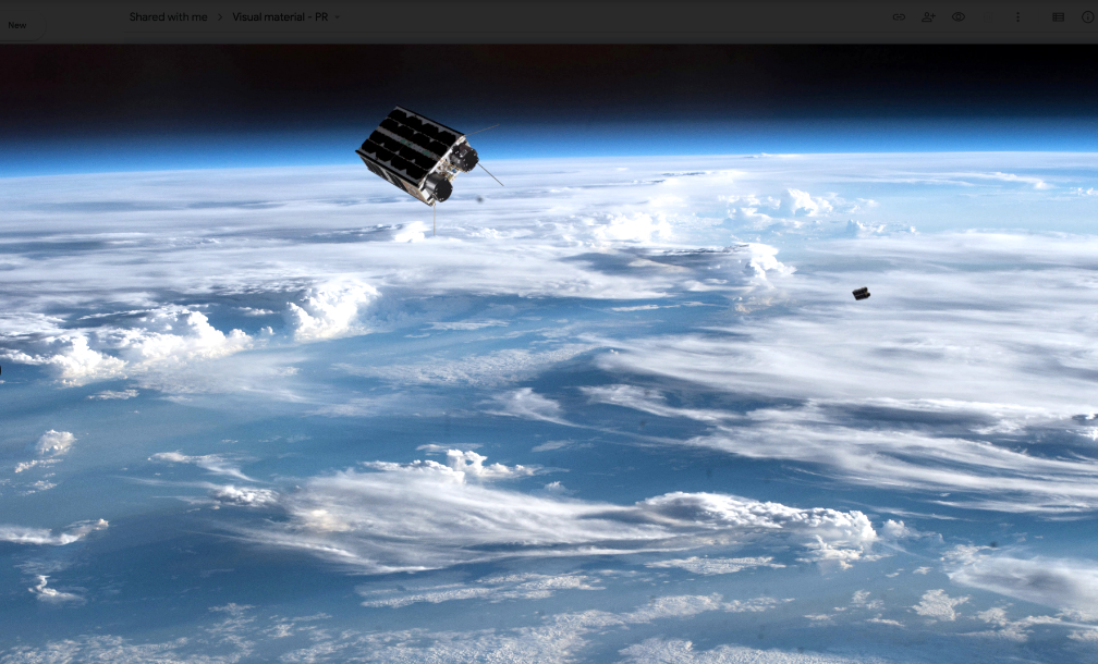
The Ethereum Private blockchain is hosted on a Raspberry Pi (single board computer) and mounted in the ‘Serenity’ satellite, a 3U CubeSat weighing 2.6 kilograms.

The November 20 launch will be the first of several planned space flights in which future academic experiments aim to test several cubesats in LEO transacting on a private blockchain.

To launch the blockchain into space, Villanova University is collaborating with Teachers in Space, Inc., a non-profit organization that developed the “Serenity” educational CubeSat satellite and secured a flight on Firefly Aerospace’s Alpha launch vehicle. The two-stage rocket is tentatively scheduled to lift off from the Vandenberg AFB in California in November.

Teachers in Space, headed by Elizabeth Kennick, President, has previously guided academic institutions in developing and flying experiments suborbitally and at the International Space Station. This will be the first independent orbital satellite mission for Teachers in Space and a unique opportunity for Villanova University to conduct pioneering blockchain experiments on a satellite. Serenity will also carry a suite of data collection sensors, and will provide its data in response to requests by amateur radio operators.

Executive Comment

Hasshi Sudler

Satellite transactions over the blockchain will be a way to securely request, transfer and pay for data between satellites. “Similar to a postal delivery, the receiver signs for the package to confirm receipt. Blockchain transactions do the same but with the added security of making sure many people witness the fact that you signed for a package, received it, and paid for it. Because the group forms a consensus around this exchange, there is no need for a single trusted third party (TTP) to oversee the validity of the exchanges. The blockchain allows two satellites to reliably complete data transactions without communicating with a ground station to supervise these inter-satellite exchanges,” explained Sudler. “Recent growth and interest in satellite deployments have raised the need to limit excessive deployments by leveraging existing satellites in space, and one means of accomplishing this is with inter-satellite transactions. The challenge of transacting between satellites securely, however, centers around the constant motion of satellites themselves, where brief network connections between satellites can prevent replicating data across the blockchain and, thus, potentially delay timely verification of transactions.”

Filed Under: News

Starlink Pricing Strategy Announced

October 28, 2020 by editorial

Elon Musk’s Starlink service will cost US rural subscribers $99 (84 euros) a month — the beta-test users will also have to pay $499 for the phased-array ground terminal, a tripod stand for the antenna as well as a WiFi router.

This price seems high, but for rural and frequently isolated potential users, it could prove invaluable.

The pricing strategy came in an email from Starlink to potential users that was leaked to business news channel CNBC. Users were warned that there could be brief periods of “no service at all” but generally they’d obtain speeds of between 50 Mb/s-150 Mb/s with latency of 20-40ms.

The email said that service and speed would improve over the next few months as the Starlink fleet expanded. The company stated that by next summer its typical latency would be in the 16-19ms range.

Potential users in Washington state, Wisconsin and Idaho seem to be the focus of the invitation.

While $99 per month might seem expensive when compared with bandwidth from cable and other ISPs in the US, if a client doesn’t have one of those suppliers then the service might be a lifesaver and, to quote SpaceX, “is better than nothing.”

The nearest direct comparison comes from California-based Viasat which offers rural users speeds of up to 50 Mb/s for about $170/month.

Filed Under: News

ST Engineering iDirect Achieves A “World’s First” MF-TDMA Demo Via Telesat’s LEO Satellite

October 28, 2020 by editorial

ST Engineering iDirect has successfully completed their first Over-the-Air (OTA) testing of iDirect’s Multi-Frequency Time Division Multiple Access (MF-TDMA) return link on the Telesat Phase-1 Low Earth Orbit (LEO) satellite.

This milestone achievement demonstrated dynamic sharing of bandwidth among multiple terminals within a LEO constellation, a capability that extends the capacity and flexibility of Telesat’s multi-beam beam hopping architecture, and opens up a wide range of use cases for Telesat’s LEO customers in the commercial, government, and defense markets for land, land-mobile, aeronautical, maritime, and other applications.

The testing was conducted at Telesat’s Allan Park facility and featured ST Engineering iDirect’s VSAT platform networked across multiple satellite modems. The iDirect platform was able to compensate fully for the LEO satellite link dynamics, including time, frequency, signal variation and Doppler effects. Short guard times (the time intervals required between radio bursts to prevent self-interference) were achieved, comparable in length to guard times used on GEO satellite links, without compromising capacity or spectral efficiency.

The ability to leverage MF-TDMA to efficiently share bandwidth on satellite ground-to-space links improves the capacity, performance and affordability of broadband services delivered over LEO satellite constellations.

To put the link to the test, the team conducted a video conference with engineers at Allan Park and achieved seamless connectivity, low jitter and low packet loss, resulting in a high Quality of Experience (QoE) that exceeded the level typically achieved over GEO satellite networks.

Executive Comments

Bart Van Poucke

“This is a significant success for the ST Engineering iDirect and Telesat teams,” said Bart Van Poucke, VP of Product Management at ST Engineering iDirect. “We have achieved the benefits of MF-TDMA efficiency whilst unlocking the low latency offered by LEO satellites. This demonstration confirms the wide addressable market for LEO and particularly for applications that require mission-critical communications. We are proud to have been part of these tests and thank Telesat for the opportunity.”

Erwin Hudson

“Satellite service providers are eager to take advantage of Telesat LEO’s affordable, low latency, high-speed connectivity to deliver secure Internet, VPN, video conferencing and cloud applications to their customers,” stated Erwin Hudson, Telesat’s VP of LEO. “I congratulate the ST Engineering iDirect engineering team on their successful testing campaign. They demonstrated the powerful advantages that MF-TDMA brings to LEO networks, a capability that can provide increased flexibility and higher capacity for our customers while allowing us to support a greater number of end users on each LEO satellite.”

Filed Under: Featured, News

New NorthStar Satellite To Combat The Threat Of Space Collisions

October 28, 2020 by editorial

NorthStar Earth & Space (NorthStar) has contracted Thales Alenia Space (TAS) to build the first three satellites of its debut “Skylark” constellation for Space Situational Awareness (SSA) services, with LeoStella overseeing the final assembly — NorthStar Earth & Space’s satellite constellation is the first dedicated to space situational awareness services.

With commercial space en route to a forecast $2.7 trillion industry, new satellites and planned mega-constellations are launching into an environment dangerously congested with traffic and space debris. NorthStar’s Skylark constellation services are designed to revolutionize the safety of spaceflight.

NorthStar is the first commercial service to monitor space, from space, via a constellation of satellites with dedicated optical sensors. With a secure data-driven 3D catalogue of the entire space environment powered by advanced SSA analytics, NorthStar will deliver timely and precise Space Traffic Data, Collision Avoidance and Navigation Services to the global satellite community.

Starting in 2022, NorthStar will begin operation of Skylark to enable the delivery of near real-time high fidelity tracking services, elevating traditional SSA to the level of Space Information & Intelligence (SI2).

With a comprehensive view of the all near-Earth orbits, Skylark’s space-based sensors will deliver precise observations of more space objects than any current system with higher revisit frequency per object. The result is unprecedented coverage, custody and enhanced predictive capabilities.

Starting in 2024, NorthStar plans to augment the Skylark mission with dual mission satellites performing both SSA and Earth Observation (EO). Dual mission satellites will be equipped with Hyperspectral, Infrared and Optical sensors, which will operate continuously from space, imaging, digitizing, and analyzing the details of Earth’s ecosystems and surrounding orbits daily.

The NorthStar Platform used for Skylark will expand to include Earth data to deliver contextualized information solutions directly to end users in the private and public sectors, providing critical knowledge about Earth and its orbital environment.

NorthStar’s investors comprise a global coalition of strategic partners, including Telesystem Space (a co-enterprise of the Sirois family office, Telesystem and the Roger’s Family Trust of Canada), the Space Alliance (Thales Alenia Space and Telespazio) of Europe, KinetX (USA), the Government of Quebec and the Government of Canada.

Executive Comments

Stewart Bain

Stewart Bain, CEO and Co-Founder, NorthStar Earth & Space, said, “The New Space Economy depends on the safety and sustainability of space. NorthStar, the first commercial SSA system based in space, will deliver essential information to space operators, enabling safe navigation and supporting global space traffic management. We are here to make space safe for doing business, now and into the future.”

Herve Derrey

“The Space Alliance is proud to contribute to NorthStar success. Thales Alenia Space will bring its world class expertise in optical instruments associated to Leostella multi-mission platforms to support this important mission. Skylark materializes a first step in providing evergreen information to the satellite operators,” said Herve Derrey, CEO, Thales Alenia Space.

Filed Under: News

Thales Alenia Space, LeoStella and NorthStar Earth and Space Join Forces to Monitor and Track Space Debris

October 28, 2020 by editorial

Thales Alenia Space, LeoStella and NorthStar Earth and Space launch the development and production of the early satellites for the first constellation dedicated to monitor and track space debris

Thales Alenia Space signed the first phase of a contract with NorthStar Earth and Space Inc., the Canadian space-based information services company, to start the development and production of the first three smallsat satellites that are part of the world’s first and most advanced commercial space-based environmental and near-space monitoring system.

In November 2018, the Space Alliance, formed by Telespazio the joint venture between Thales (67 percent) and Leonardo (33 percent), and Thales Alenia Space announced to have taken a stake in NorthStar Earth and Space. Today, the industrial journey begins for the Skylark constellation, with Thales Alenia Space being responsible for the space system activities by providing the payloads alongside with LeoStella (a joint venture between BlackSky and Thales Alenia Space) providing the satellite platform and the assembly, integration and test facilities based in Tukwila for final assembly and delivery.

“Through the Space Alliance, Thales Alenia Space is proud to play a key role in the NorthStar’s success. NorthStar’s Skylark space-based system will generate unique and outstanding data to build value added services for Space Situational Awareness. Skylark signifies a first step in providing much needed timely and precise information to the satellite operators”, declared Herve Derrey, CEO of Thales Alenia Space.

The ability to view, understand and map the physical location of natural and man-made objects in orbit around the Earth (currently there are more than 600 thousand objects in low Earth orbit with billions of dollars of space assets at risk from collisions) is now becoming a real concern for all private or governmental satellite owners and operators. Tracking resident space objects from space with optical sensors will enhance and complement existing systems. By observing from multiple perspectives in space, Skylark satellites will significantly improve tracking of objects, the number of detected debris and the ability to predict potential collisions.

“NorthStar welcomes the world class expertise of Thales Alenia Space and LeoStella to our mission of delivering safe spaceflight operations in the New Space Economy. Together we look forward to achieving a future of peaceful and sustainable space for all”, added – Stewart Bain, CEO and co-founder, NorthStar Earth & Space.

The Skylark smallsats will be based on LeoStella’s LEO-100 Multi-Mission Bus and a compact optical instrument.

“The NorthStar space situational awareness constellation brings unique capabilities of free-flying Non-Earth Imaging satellites to the commercial sector. LeoStella is proud to be part of the team and to bring our multi- mission satellite platforms to support this important mission.” concluded Mike Hettich CEO of LeoStella.

Filed Under: News

October 28, 2020 by editorial

An employee at Tyvak International in Turin, Italy, inspects the computing and camera assembly of the FSSCat/Phi-sat-1 satellite. Intel’s Myriad 2 Vision Processing Unit brings onboard artificial intelligence to the system built by Ubotica Technologies and paired with a hyperspectral-thermal camera from cosine measurement systems. (Credit: Tim Herman/Intel Corporation)

Artificial intelligence (AI) is certainly the ‘flavor of the month’ and has become a part of our daily lives. However, there is one area that, until now, hasn’t been involved in AI…

As ubiquitous as artificial intelligence has become in modern life — from boosting the understanding of the cosmos to surfacing entertaining videos on a phone — AI hasn’t yet found its way into orbit.

That is until September 2, when an experimental satellite about the size of a cereal box was ejected from a rocket’s dispenser along with 45 other similarly small satellites. The satellite, named PhiSat-1, is now soaring at over 17,000 mph (27,500 kmh) in sun-synchronous orbit about 329 miles (530 km) overhead.

PhiSat-1 contains a new hyperspectral-thermal camera and onboard AI processing from an Intel® Movidius™ Myriad™ 2 Vision Processing Unit (VPU) — the same chip inside many smart cameras and even a $99 selfie taken by a drone on Earth. PhiSat-1 is one of a pair of satellites on a mission to monitor polar ice and soil moisture, while also testing intersatellite communication systems in order to create a future network of federated satellites.

The first challenge that the Myriad 2 is helping to solve is, how to handle the large amount of data generated by high-fidelity cameras like, similar to the one on PhiSat-1. “The capability that sensors have to produce data increases by a factor of 100 every generation, while our capabilities to download data are increasing, but only by a factor of three, four, five per generation,” says Gianluca Furano, data systems and onboard computing lead at the European Space Agency, which led the collaborative effort behind PhiSat-1.

At the same time, about two-thirds of the planet’s surface is covered in clouds at any given time. That means a whole lot of useless images of clouds are typically captured, saved, sent over precious down-link bandwidth to Earth, saved again, reviewed by a scientist (or an algorithm) on a computer hours or days later — only to be deleted.

“And artificial intelligence at the edge came to rescue us, the cavalry in the Western movie,” says Furano. The idea the team rallied around was to use onboard processing to identify and discard cloudy images — thus saving about 30 percent of bandwidth.

“Space is the ultimate edge,” says Aubrey Dunne, chief technology officer of Ubotica. The Irish startup built and tested PhiSat-1’s AI technology, working in close partnership with cosine, maker of the camera, in addition to the University of Pisa and Sinergise to develop the complete solution. “The Myriad was absolutely designed from the ground up to have an impressive compute capability but in a very low power envelope, and that really suits space applications.”

The Myriad 2, however, was not intended for orbit. Spacecraft computers typically use very specialized “radiation-hardened” chips that can be “up to two decades behind state-of-the-art commercial technology,” explains Dunne. And AI has not been on the menu.

Dunne and the Ubotica team performed “radiation characterization,” putting the Myriad chip through a series of tests to determine how to handle any resulting errors or wear-and-tear.

Recreation of the two CubeSats, named ³Cat-5/A and ³Cat-5/B, orbiting the Earth to carry out the FSSCat mission.

ESA “had never tested a chip of this complexity for radiation,” says Furano. “We were doubtful we could test it properly … we had to write the handbook on how to perform a comprehensive test and characterization for this chip from scratch.”

The first test, 36 straight hours of radiation-beam blasting at CERN in late 2018, “was a very high pressure situation,” Dunne says. But that test and two follow-ups “luckily turned out well for us.” The Myriad 2 passed in off-the-shelf form, no modifications needed.

This low-power, high-performance computer vision chip was ready to venture beyond Earth’s atmosphere, however, then there was another challenge.

Typically, AI algorithms are built, or “trained,” using large quantities of data to “learn” — in this case, what’s a cloud and not a cloud. But given the camera was so new, “we didn’t have any data,” says Furano. “We had to train our application on synthetic data extracted from existing missions.”

All this system and software integration and testing, with involvement of a half-dozen different organizations across Europe, took four months to complete. “We were very proud to be able to be so quick and so efficiently flexible, to put everything on board in such a short time,” says Max Pastena, PhiSat officer at ESA. As far as spacecraft development goes, the timeline “is a miracle,” adds Furano.

“Intel has given us background support on the Myriad device when we’ve needed it, to enable PhiSat-1’s AI using our CVAI Technology,” says Dunne. “That’s very much appreciated.”

Unfortunately, a series of unrelated events — delays with the rocket, the coronavirus pandemic and unfriendly summer winds — meant the teams had to wait more than a year to find out if PhiSat-1 would function in orbit as planned.

The September 2 launch from French Guiana — a first-of-its-kind satellite ride-share run by Arianespace — went fast and flawlessly. For the initial verification, the satellite saved all images and recorded its AI cloud detection decision for each, so the team on the ground could verify that its implanted brain was behaving as expected.

After a three-week deep breath, Pastena was able to proclaim,“We have just entered the history of space.”

ESA announced the joint team was “happy to reveal the first-ever hardware-accelerated AI inference of Earth observation images on an in-orbit satellite.”

By only sending useful pixels, the satellite will now “improve bandwidth utilization and significantly reduce aggregated downlink costs” — not to mention saving scientists’ time on the ground.

Looking forward, the usages for low-cost, AI-enhanced very small satellites are innumerable — particularly when you add the ability to run multiple applications.

“Rather than having dedicated hardware in a satellite that does one thing, it’s possible to switch networks in and out,” says Jonathan Byrne, head of the Intel Movidius technology office. Dunne calls this “satellite-as-a-service.”

Consider, that when flying over areas prone to wildfire, a satellite can spot fires and notify local responders in minutes rather than hours. Over oceans, which are typically ignored, a satellite can spot rogue ships or environmental accidents. Over forests and farms, a satellite can track soil moisture and the growth of crops. Over ice, it can track thickness and melting ponds to help monitor climate change.

Many of these possibilities will soon be tested. ESA and Ubotica are working together on PhiSat-2, which will carry another Myriad 2 into orbit. PhiSat-2 will be “capable of running AI apps that can be developed, easily installed, validated and operated on the spacecraft during their flight using a simple user interface.”

For Intel, the potential impact is unquestionable. As Pastena puts it, we can eventually understand “the pulse of our planet.”

https://smallsatnews.com/2020/10/28/3560/

Filed Under: News

Momentus To Fly A Gran Systems Smallsat In December

October 27, 2020 by editorial

Momentus Inc. and Gran Systems have signed a service agreement for Gran System’s 2U CubeSat NUTSAT to fly on Momentus’ December 2020 Vigoride demo mission.

The 2U NUTSAT was designed by the National Formosa University with the backing of the National Space Organization (NSPO) in Taiwan. One of the three NSPO cubesats launching this year, NUTSAT is a systems engineering training education program integrating an ADS-B receiver onto the cubesat to demonstrate and enhance commercial aviation safety technology. NUTSAT is the first of the three cubesats to go for the launch integration.

Executive Comments

“We are pleased that Momentus will accommodate NUTSAT,” said Kaung-Han Ke, CEO of Gran Systems. “NUTSAT was shipped and delivered to Momentus the same hour that Momentus made a big announcement which upped their profile in investor relations, and we are very happy to be onboard.”

Mikhail Kokorich

“This is the first NSPO cubesat mission that Momentus will support,” said Mikhail Kokorich, CEO of Momentus. “We are thrilled to be expanding business opportunities and growing with the Taiwanese new space sector where our technology is uniquely positioned.”

Filed Under: News

SpaceX Launches Another 60 Starlink Satellites and Celebrates a Falcon’s 100th Flight

October 24, 2020 by editorial

A launch delay on Thursday due to a small technical issue was corrected enabling today’s successful launch on Saturday, October 24, at 11:31 a.m. EDT, 11:31 UTC launch of SpaceX’s 60 Starlink satellites. The launch to orbit took place from Space Launch Complex 40 (SLC-40) at Cape Canaveral Air Force Station in Florida. The rocket launched at 11:31 a.m. during the instantaneous window, in which SpaceX did not have a longer timeframe to wait out possible weather violations. This mission also marked the 100th successful flight of a Falcon rocket since Falcon 1 first flew to orbit in 2008.

Falcon 9’s first stage previously supported the GPS III Space Vehicle 03 mission in June 2020 and a Starlink mission in September 2020. Following stage separation, SpaceX landed Falcon 9’s first stage on the “Just Read the Instructions” droneship, which was stationed in the Atlantic Ocean. The Starlink satellites deployed approximately 1 hour and 3 minutes after liftoff.

On Thursday, SpaceX CEO Elon Musk said in a tweet that the team reported “a small-seeming issue with loss of upper stage camera,” referring to the rocket’s second stage. “Probably nothing serious, but standing down to re-examine (the) whole vehicle just in case.”

Leading up to Saturday’s launch, SpaceX lead manufacturing engineer Jessica Anderson said the issue was resolved and the rocket was healthy.

SpaceX landed the booster about eight minutes after launch on the droneship called Just Read the Instruction already waiting in the Atlantic Ocean, marking the third flight for this rocket first-stage. SpaceX wasn’t attempting to catch the fairings for this launch but will retrieve them after they land in the water.

Filed Under: News

NanoAvionics Reveals Remaining Three Payloads For Their Upcoming Rideshare Mission

October 23, 2020 by editorial

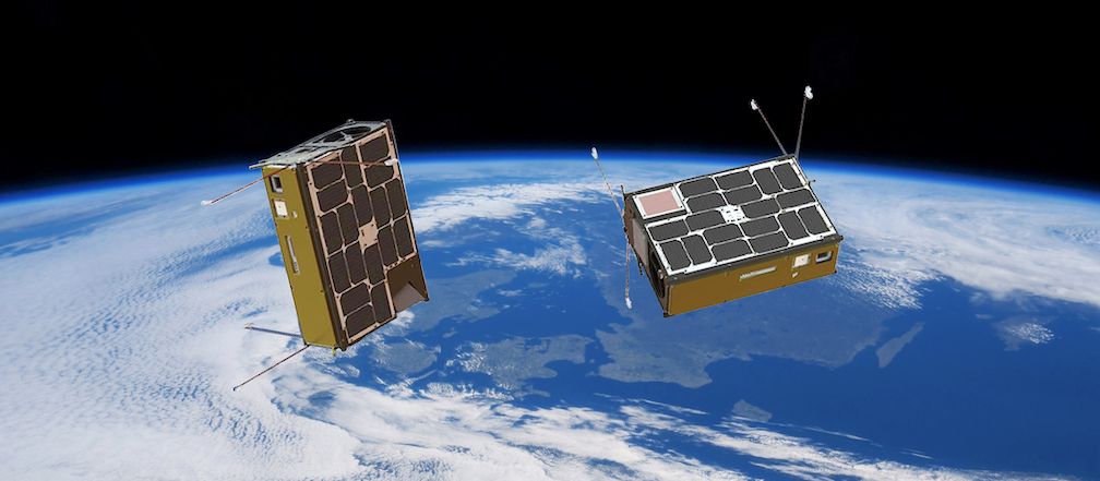
NanoAvionics has revealed the remaining three payloads of the firm’s ‘D-2/AtlaCom-1’ rideshare mission hosted on board their M6P 6U smallsat bus.

The additional payloads, a camera for hyperspectral remote sensing, a new high-gain X-band antenna and an upgraded X-Band downlink transmitter, are all part of an international collaboration by an international consortium and its partners called “HyperActive”.

NanoAvionics 6U cubesat.

The consortium partners for this international collaboration comprise Dragonfly Aerospace (South Africa), Space JLTZ (Mexico) and NanoAvionics US as a supplier to the consortium, as well as mission contributors Polytechnical University of Atlacomulco (Mexico), and CubeCom (South Africa).

Expected to launch in mid-2021, the primary aim of the HyperActive program is a flight demonstration of the hyperspectral imaging and communication payloads. The secondary aim is to evaluate market interest for hyperspectral imaging data captured and processed as part of the program.

Dragonfly Mantis smallsat.

Within this collaboration, NanoAvionics will act as the supplier to the HyperActive consortium, taking care of all aspects related to the satellite mission including among others payload integration, performance testing, spacecraft registration and logistics, frequency allocation and payload on-orbit operations.

Responsible for processing the collected hyperspectral data and distributing it to interested parties around the world is Space JLTZ, a space company from Puebla, Mexico. The generated data can be used to develop innovation solutions and optimize various industries such as agriculture yield, mining, livestock, detection of changes in vegetation, pollutants and urban changes including monitoring of vehicles.

For example, a hyperspectral sensor can ‘see’ the spectral signature of an invasive disease threatening an entire harvest, allowing farmers to take preventive steps. Initially, the data will be openly available to all interested parties worldwide, including the Polytechnical University of Atlacomulco, which will allow its students to explore and discover possible applications.

Executive Comments

F. Brent Abbott

“This program shows how important international collaboration can be to the NewSpace sector and how it enables low barrier entry for space data businesses,” said F. Brent Abbott, CEO of NanoAvionics US. “I’m very proud that NanoAvionics is part of this effort as well as stimulating education development and contributing to global social benefits such as ocean and agricultural monitoring. NanoAvionics also values its role as a strategic ally for space development in Mexico. Mexico’s participation in the AtlaCom-1 project is possible thanks to the support of Space JLTZ, its extraordinary team and its visionary CEO and president, José Luis Terreros Corrales, The long-term vision and the efforts around AtlaCom-1 by the Mexican Space Agency, and especially the exemplary support of the Municipality of Atlacomulco of Mexico and its space enthusiastic Mayor and engineer, Roberto Tellez Monroy, this team is making history and have laid the ground work to establish a nanosatellite infrastructure for future space missions in Mexico.”

Bryan Dean

“The team at Dragonfly Aerospace is excited to be working with these great partners on this mission,” said Bryan Dean, CEO of Dragonfly Aerospace. “It fits very well with our plans to team up with leading satellite bus and image processing partners to provide compelling solutions to end users. The Mantis imager is the latest addition to our range of cost-effective hyperspectral imagers which also includes the Chameleon imager that we delivered for flight earlier this year.”

José Luis Terreros Corrales

José Luis Terreros Corrales, CEO and President of Space JLTZ, said, “It is a well-known truth that space exploration is the next step for humankind. Speaking as president of Space JLTZ but mostly as a Mexican I couldn’t be more excited and prouder of launching this project and sending Mexico onto a space path. We know this alliance with two giants, NanoAvionics and Dragonfly, is only the beginning of a great partnership that will change the course of the space industry in Mexico.”

NanoAvionics satellite in space.

Filed Under: News

Axelspace Delivers Business Continuity Plan Using Satellite Data

October 23, 2020 by editorial

Axelspace Corporation has launched their business continuity plan (BCP) support service to conduct timely situational analysis in response to accidents and natural disasters, using satellite imagery data.

In preparation for occurrence of incidents, including unexpected events and accidents, BCP support service will periodically monitor the designated areas by capturing with satellite imagery data. It allows to take immediate control of the crisis situation, verify the situation of target assets and the surrounding environment in a confidential manner, by conducting emergency capturing based on predetermined terms.

In addition, monitoring of the current situation and verification of the surrounding environment during the recovery phase is made possible, without going to the actual location, because of periodic monitoring prior to the occurrence of the incident.

In many cases, situational analysis is conducted in an unplanned approach as the crisis unfolds, leading to difficulty in conducting verification, especially in areas restricted to enter. On the other hand, the conventional satellite imagery data takes time to arrange for the capture and has the issue of high cost for emergency capturing order.

With this BCP support service, the plan starts as low as US$500/month to capture every three months during the normal times and in times of crisis, will automatically capture, deliver the data and in addition, can provide data analysis service based on the client’s needs.

Compared to putting a new order request at the time of incident occurrence, the BCP support service plan has a huge advantage on ease of ordering, handling speed and cost, although there will be a separate emergency handling service cost.

Reach out for details, as the emergency handling cost will be different, based on the kind of service required at the time of crisis and the latency requirements upon the occurrence of the incidents.

In delivering the BCP support service, Axelspace will mainly be using AxelGlobe, the company’s proprietary rapid Earth observation monitoring platform, currently in development.

The first GRUS, the satellite used for AxelGlobe, was launched in December 2018 and in service already. 4 additional satellites will be launched soon, making it a 5-satellite system, allowing to monitor anywhere in the world every 3 days.

Filed Under: Featured, News

  • « Go to Previous Page
  • Page 1
  • Interim pages omitted …
  • Page 7
  • Page 8
  • Page 9
  • Page 10
  • Page 11
  • Interim pages omitted …
  • Page 57
  • Go to Next Page »

Primary Sidebar

WEEKLY NEWSLETTER

Archives

  • June 2026
  • May 2026
  • April 2026
  • March 2026
  • February 2026
  • January 2026
  • December 2025
  • November 2025
  • October 2025
  • September 2025
  • August 2025
  • July 2025
  • June 2025
  • May 2025
  • April 2025
  • March 2025
  • February 2025
  • January 2025
  • December 2024
  • November 2024
  • October 2024
  • September 2024
  • August 2024
  • July 2024
  • June 2024
  • May 2024
  • April 2024
  • March 2024
  • February 2024
  • January 2024
  • December 2023
  • November 2023
  • October 2023
  • September 2023
  • August 2023
  • July 2023
  • June 2023
  • May 2023
  • April 2023
  • March 2023
  • February 2023
  • January 2023
  • December 2022
  • November 2022
  • October 2022
  • September 2022
  • August 2022
  • July 2022
  • June 2022
  • May 2022
  • April 2022
  • March 2022
  • February 2022
  • January 2022
  • December 2021
  • November 2021
  • October 2021
  • September 2021
  • August 2021
  • July 2021
  • June 2021
  • May 2021
  • April 2021
  • March 2021
  • February 2021
  • January 2021
  • December 2020
  • November 2020
  • October 2020
  • September 2020
  • August 2020
  • July 2020
  • June 2020
  • May 2020
  • April 2020
  • March 2020
  • February 2020
  • January 2020
  • December 2019
  • November 2019
  • October 2019

© 2019–2026 SatNews

Insert/edit link

Enter the destination URL

Or link to existing content

    No search term specified. Showing recent items. Search or use up and down arrow keys to select an item.
      x
      Sign Up Now!

      Enjoy a free weekly newsletter with recent headlines from the global SmallSat industry.

      Invalid email address
      We promise not to spam you. You can unsubscribe at any time.
      Thanks for subscribing! You will now receive weekly SmallSat News updates.
      We love our advertisers.
      And you will too!

      Please disable Ad Blocker to continue... We promise to keep it unobtrusive.
      We promise not to spam you. You can unsubscribe at any time.
      Invalid email address
      Thanks for subscribing!